East View Geospatial (EVG) has been a provider and producer of top-of-the-line maps, charts, geospatial datasets, and models for over 25 years. Spatial data and its derivative products have countless applications, and some of those applications require these products to meet very specific criteria. Maps, charts, and geospatial data used in military operations must adhere to “MTM standards”. We asked Jason Sjolander, our GIS Technical Manager, about MTM specifications and why adhering to standardization is important in the realm of defense mapping.
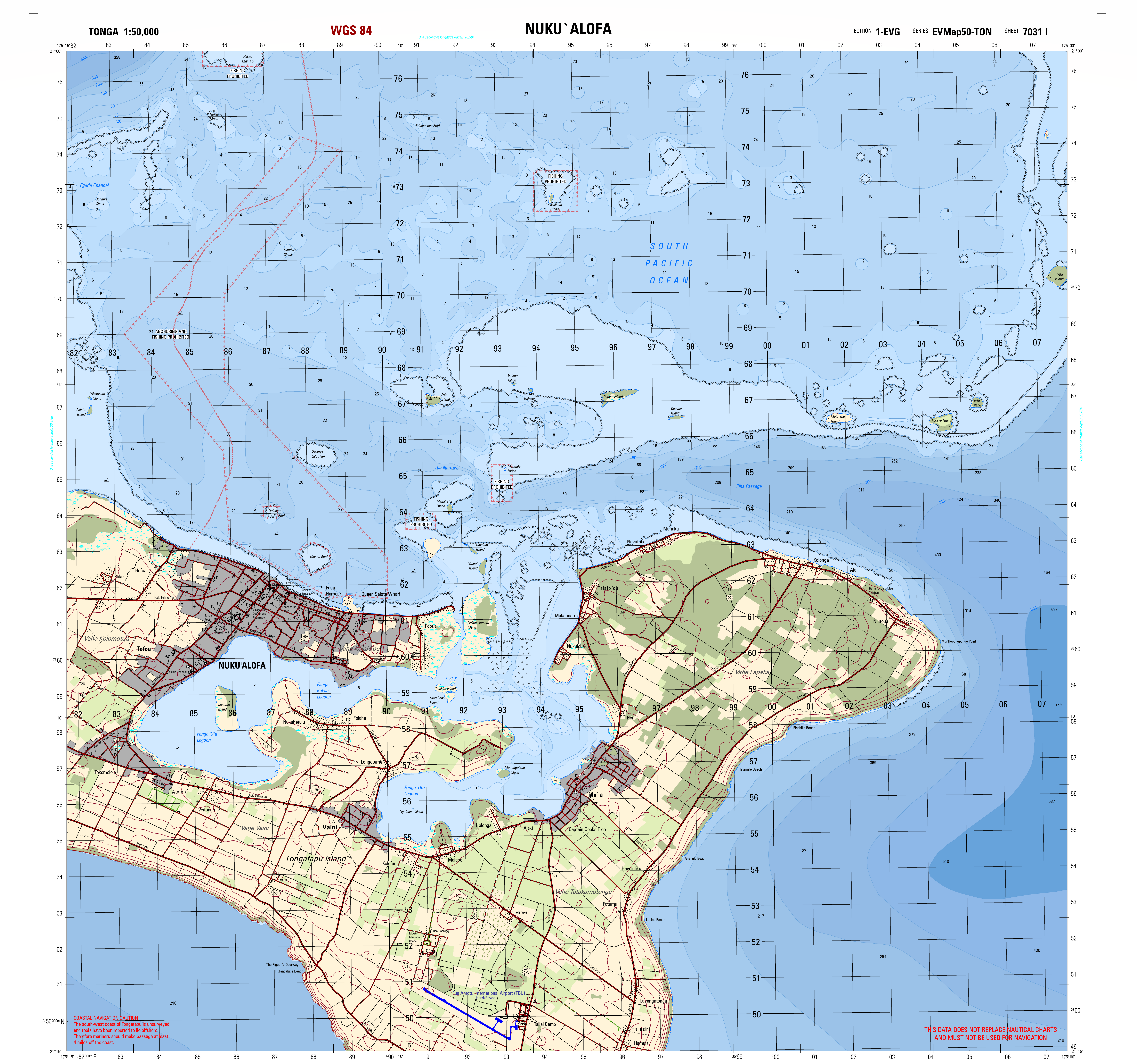
A 1:50,000 scale MTM map of Tonga produced by East View Geospatial.
What is MTM?
“MTM is an acronym of a defense mapping product. Its full name is Multinational Geospatial Co-Production Program Topographic Map. The Multinational Geospatial Co-Production Program or MGCP is a 32+ member group of nations across the world whom contribute information to a central database. This database amongst many things contains GIS data which is used to make MTM’s. Many mapping programs across the world have tools that run exclusively on this MGCP data, most notably ESRI and their Defense Mapping toolset. “
How does this apply to your work at EVG?
“At several points during my career at East View Geospatial, I have created MTMs at both the 50K and 100K scales. Having a standardized map setup like MTM allows for a more efficient workflow and production time and delivers a ready-to-use product to end users. “
Producing MTM maps is just one of the many things we do at EVG. We know how important it is to create maps, charts, datasets, and other geospatial products that meet our clients’ exact needs. We’ll work with you to ensure that the product you need is created to exact specifications no matter the end-use application. Contact us to find out how we can help you utilize maps, charts, and geospatial products today!

Jason Sjolander, GIS Technical Manager


