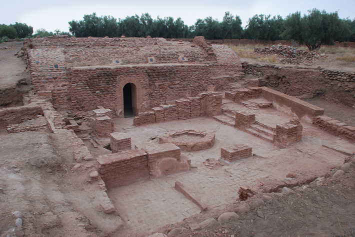
(Image courtesy of archaeology.org)
Since their initial convergence in the 1980s, the advent of remote sensing has revolutionized the way today’s humans learn about those from the past by allowing modern archaeologists to find signs of ancient civilizations where others could not.
Thanks to satellite imagery, on-the-ground LiDAR technology, and GIS, ‘remote sensing,’ or exploring a site without excavating it, has become standard practice in archaeology. The ability to examine areas that are not geographically close to researchers optimizes the process and makes exploration more efficient.
Some remote sensing can be done from the ground via Ground Penetrating Radar (a radar device dragged over a site to provide rough structural images) or Geophysical Diffraction Tomography (which shoots soundwaves into the ground from a shotgun), but much is done from above.
Aerial views in the early 1900s of places like Stonehenge were precursors for today’s marriage of geospatial imaging and archaeology. The relationship was cemented in 1981, when NASA’s SIR-A imaging system was launched, using reflected sunlight to create images. When it was flown over an archaeological site in the Sahara Desert, the driest place on the planet, SIR-A sent back underground images of a landscape that had once been the site of many lakes and rivers. The riverbanks revealed by that flyover proved rich in prehistoric tools and other artifacts.
Seeing things from above is one thing, but seeing them in infrared and other wavelengths not visible to the human eye is another. Infrared imaging technology is the second way geospatial information has proved invaluable to uncovering humanity’s past.

The satellite image on the left shows only visible sand dunes, while Spaceborne Imaging Radar, also known as SIR, was able to detect an ancient river bed beneath the sand dunes. Image courtesy of NASA.
Buried structures affect how things grow over them, and infrared imaging can help detect these clues. Heat emission varies for materials like rock, sand, flora, and cultivated soil. Human enterprises, like farming or construction, change the heat signature of the land. Observed temperature variations in the soil can reveal texture differences, which, in turn, can point to the potential of past farm fields. Rock, for example, absorbs more heat than soil, so hotter temperatures in soil may point to buried stone structures. Archaeologists were able to find the Maya causeway (early types of human-made roads) because its infrared radiation was observed at different wavelengths than the plant growth around it.
Computers programmed to seek out these outlying heat signatures allow for a much larger swath of land to be surveyed, while LiDAR gives archaeologists a fantastic tool for finding evidence of human activity once sites are identified. Archaeologists can now reliably detect everything from anomalous forest structures to underwater shipwrecks without ever breaking ground or donning a wetsuit. This is especially helpful in urban environments, where modern civilization has grown over the old and won’t allow for excavation.
Finally, large-scale databases help organize and analyze historic sites from around the world, leading to new insights from old finds. Patterns and predictive models can be made from the resulting analysis and used to further research human history. To pinpoint a new potential site, factors like proximity to water, other cities, or even information from old paper maps are all considered.
Key Takeaways:
- The relationship between GIS and archaeology goes back to the early 1900s.
- advances in GIS data have helped archeologists survey land for sites, using infrared imaging and LiDAR to find anomalous forest structures.
- The diverse datasets provided give new insights to ‘old’ discoveries and the data needed to create predictive modeling for focused searches.


