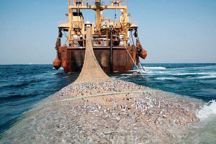
(Image courtesy of Rumbos)
The effects of illegal fishing are felt worldwide: from environments to economies. Until recently, tracking illegal fishing vessels, or even legal ones, was difficult for a number of reasons. The biggest: oceans are enormous – one ship can lose itself easily in such a vast arena. Only a fraction of their waters have ever been explored, and there are few ‘landmarks’ visible to the human eye.
That’s no longer the case, thanks to a convergence of radar, geospatial data, AIS, and data industry players.
Automatic Identification System, or AIS, was initially developed as a safety tool to track ships on their voyages. Since its initial use in the 1990s, AIS has become increasingly common, and as ships’ systems automatically check-in, that data is collected by satellite. The data grows by the day, and, over time, it can reveal patterns.

(Image Courtesy of Cult of Sea)
Ships only report an identification number and location through AIS, though. To make tracking more accurate, machine learning is being taught algorithms that can tell a commercial vessel from a yacht. To build these algorithms, human observers had to parse immense amounts of data and compile models for patterns of different kinds of vessels.
In September of 2016, SkyWatch, Oceana, and Google teamed up to analyze this immense dataset (the project began with over 3.7B data points). Their goal was to examine illegal fishing over time and provide the public access to this data, too. The initiative is called Global Fishing Watch (GFW).
The initiative is working to push back against the overfishing of 33% of the world’s major commercial fish species and to put a halt to the yearly loss of over 23 billion dollars in stolen, unreported, or unregistered seafood. Their biggest weapon: diverse datasets and geospatial information.
Today, satellites can see through clouds, which helps researchers track the movements of ships not using AIS. Trouble is, while satellite radar can see through clouds, it can’t automatically differentiate between fixed pieces of infrastructure (oil rigs, wind turbines, etc) and moving ships. Using a series of algorithms and maps, Global Fishing Watch is working to establish a database that includes fixed infrastructure, which will make ships easier to pick out of the data.
GFW can also help determine the efficacy of policies & regulations, such as bans. A recent example: their data indicated that Indonesia’s recent ban on foreign fishing vessels has resulted in an enormous drop in fishing activity there. This outcome might not be immediately recognizable based on data from fish imports or population counts. In short, geospatial data and innovative technologies like machine learning are allowing for a crackdown on illegal fishing like never before. With the help of Global Fishing Watch, the illegal fishing industry is dwindling rapidly with the hopes of completely eradicating the practice on a long term scale.
Key Takeaways:
- Illegal fishing is a problem with global implications touching everything from the environment to the economy.
- AIS was developed to keep track of ships for safety, but can now be used to detect illegal fishing patterns.
- When combined with satellite radar and data analysis, AIS data can be put into machine learning algorithms that will allow researchers, activists, and governments to act on solid information about what kinds of vessels are fishing in their waters.


