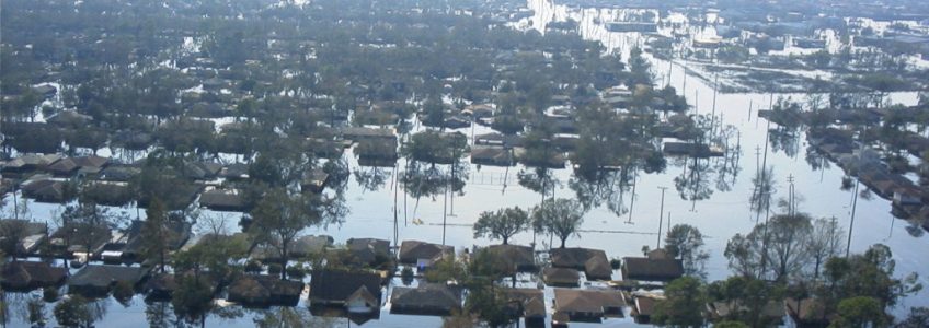
At the nexus of insurance and geospatial information sits an important commodity: trust. People and businesses turn to insurers for protection in the event of a disaster. In turn, insurers look to reinsurance to protect themselves. In this swirl of individual policies, claims, disasters, and shifting populations, geospatial data brings clarity and actionable insights. For an industry operating on both global and local scales, the ability to track regional trends and apply them to individual policyholders has proven indispensable.
From health insurance to risk analysis, event monitoring to route planning, the insurance industry uses GIS, Satellite Imagery and various other geospatial inputs and technology to go beyond static figures and spreadsheets. The clearest examples may be with risk assessments where geospatial technology is leveraged to better assess risk across time and space.
For example, in an area affected by frequent power outages, insurers can use past outage trends to predict where future ones might occur, down to individual buildings utilizing GIS. This allows for a more strategic policy offering, tailored to the specific risks of an area. Geological data can be used to evaluate earthquakes and natural risk hazards, determining whether a repeat catastrophe in that area is likely.
The same goes for crime – home insurers can integrate their location information with that of the nearest police station’s activity, giving a clearer picture of the pattern of crime. Property values can be folded in, too, by linking with real-estate marketplace services.
The one commonality amongst all the various use cases in the insurance industry is the demand for accurate and constantly updated data. East View Geospatial is the sole provider of one of the best tools on the market, the LandScan Global Population Database. Developed by the Department of Energy’s Oak Ridge National Laboratory, LandScan is the industry standard for global population distribution. It is the world’s most accurate spatially referenced ambient population distribution model and features the finest resolution global population database. This provides insurers with critical location-based insights. The database is updated annually reflecting improvements in source inputs and algorithms. What does this mean for insurers? Quick and simple assessments, estimates, and visualizations of populations at risk.
Population data like LandScan is extremely valuable to the health insurance industry, too. In places that require health insurance, city officials can use GIS to pinpoint areas of low coverage within a city, even making predictions based on factors like income, health, and age. This is more than just a benefit to insurers – the refining of risk factors helps identify areas where the population may be more susceptible to an outbreak or specific illness.
Customer service-wise, the heightened ability to anticipate the aftermath of a disaster based on past events, while simultaneously following events in real time, gives insurers the capability of immediate action. Using imagery and geospatial data means customers can get their claims faster, and recovery can get underway sooner. With the power of objective geospatial data behind that decision-making, the outcome can be trusted, not contested.


