Enhanced digital capabilities have revolutionized the world of maps for consumers and professionals alike. As noted in one of our previous posts, digital maps allow cartography to leave its 2-D boundaries in the past. They also allow for rapid updates and infinite customization. There are, however, several things digital maps cannot do that paper maps can – enough to make any claims about paper maps’ days being numbered ring hollow.
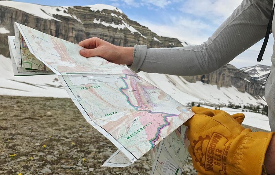
The biggest advantage paper maps still hold is reliability. Digital mapping tools require multiple, complex technological systems to maintain steady coordination for data to be accessible. Though relatively infrequent, threats like power outages, solar flares, or even a squirrel on a power line can interrupt these systems. A government shutdown could hamper satellite data powering GPS systems for both consumers and companies. A paper map, once created, exists until physically destroyed; all one needs is light to read it by.
This ‘feature’ comes in handy when navigating remote places of the world with tenuous (or non-existent) internet connections and sparse existing GPS data.
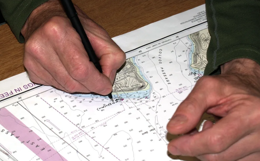
But what about the information on that map? Couldn’t it be outdated? The short answer is yes, but the same can be said for many digital maps as well. When accessing data digitally, like on Google Maps or Waze, there is an expectation that the map has been updated recently. Online mapping services, especially those free to consumers, are somewhat opaque about when they were last updated, though, and some applications, like OSM (Open Street Map), rely on crowd-sourced data. Intentionally or not, this data could be bad or misleading. Physical maps are transparent about when they were published and what they cover. This makes it easier to identify gaps in knowledge ahead of time.
Plus, with a little bit of pre-planning, today’s trend of print-on-demand maps makes it easier than ever to get the most accurate information into your hands, literally.
In fact, even as today’s ships and airplanes use digital data to navigate the air and seas, paper aeronautical and hydrographic charts are required by law as a backup. Entities in other industries, like sales and telecommunications, also keep sets of physical maps handy to ensure that their efforts will not grind to a halt due to interrupted digital data. Today’s print-on-demand capabilities mean these backup maps can be just as specific as their digital counterparts.
East View Geospatial has helped create and supply physical maps for sales teams and telecommunications projects in the past and can create products for incredibly specific scenarios. Our work for the new Amazon Prime series, World’s Toughest Race: Eco-Challenge Fiji, hosted by survival legend Bear Grylls, is one example. For Eco-Challenge, we created 11 different maps for the staff and contestants and printed a total of 991 copies.
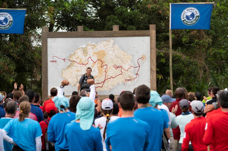
What the contestants do with those maps will showcase the biggest benefit of physical maps; increased cognitive ability.
Studies have shown that the use of paper maps can stimulate more in-depth thinking and a deeper level of situational awareness than using maps on a screen. A digital map app gives A-to-B directions, and users typically follow those directions. When a wrinkle or recalculation occurs, it can be jarring. The process of digesting information from a paper map is more of a holistic brain process that hones skills like orienteering and spatial awareness.
It’s easy to infer, then, that the meandering nature of travel is often best left to the old ways, since paper maps are easier to deviate from due to their ability to impart context to users.
Of course, some maps are simply too out-of-date, too battered, or too specific to be much more than a decoration. Or, even further, ‘mapping’ paper for presents. Before that kind of recycling, though, think about whether or not your navigational skills are becoming a victim of convenience.


